‘Left behind’ neighbourhoods
We define ‘left behind’ areas as places which face the double disadvantage of high deprivation and a lack of social infrastructure.
In 2018, we commissioned the Oxford Consultants for Social Inclusion (OCSI) to develop new data analysis to explore the difference that social infrastructure makes to outcomes in deprived communities.
Our experience of delivering the Big Local programme indicated that social infrastructure – defined as places and spaces to meet, connectivity (physical and digital) and community engagement – is a key determinant of the prospects of neighbourhoods and their residents.
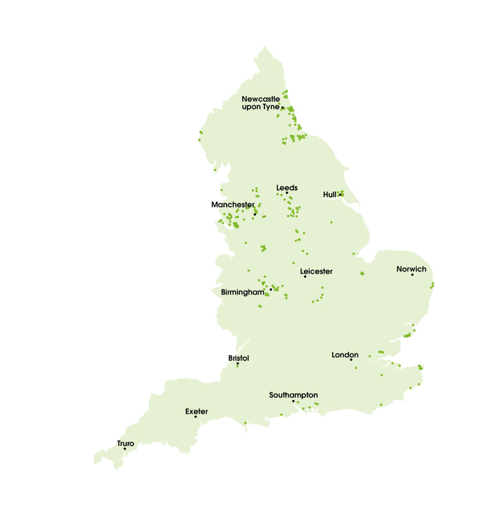
This original, foundational, research identified 206 ‘left behind’ neighbourhoods across England. An update in 2020, to take account of changes to the Index of Multiple Deprivation, showed 225 wards falling into this category.
While our policy work increasingly refers to these areas as ‘doubly disadvantaged’, you’ll see both terms used interchangeably within our outputs and publications.
Combining data from two indices – the Index of Multiple Deprivation (IMD) and the Community Needs Index (CNI), which we partnered with OCSI to create – makes it possible to identify those neighbourhoods which face the double disadvantage of being severely deprived and having the least social infrastructure in the country.
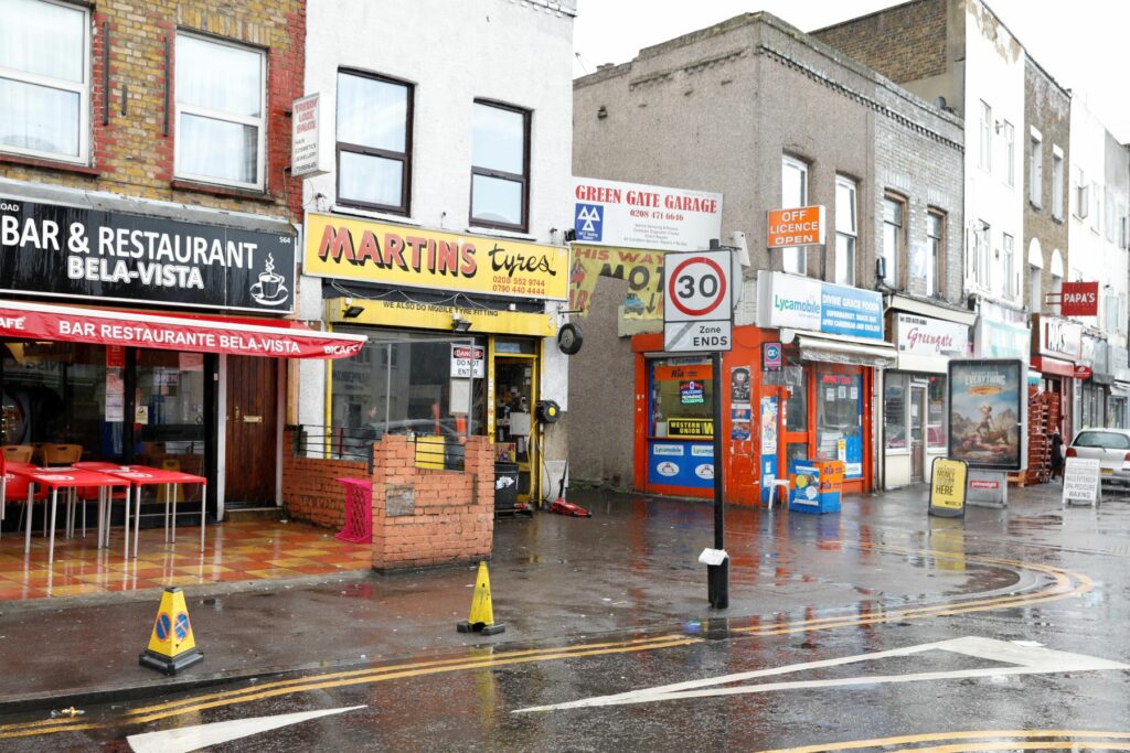
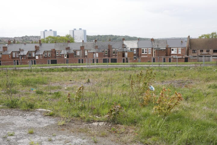
These neighbourhoods are predominantly in post-industrial and coastal areas in the North and the Midlands. Their residents have markedly worse socio-economic outcomes than the residents of other equally deprived areas. This suggests the value and importance of social infrastructure.
Research has found that doubly disadvantaged neighbourhoods experience greater challenges across a range of life outcomes, including higher rates of poverty, lower educational attainment, and worse population health.
We have continued to collect data and improve the methodology for the research so we can better understand the social, economic and cultural dynamics of ‘left behind’ neighbourhoods to help develop responses which will enable them to prosper in the future.
Our work on 'left behind' neighbourhoods